LIVE WEB PROTOTYPE
Neighborhood and property experience
A working web prototype for neighborhood-level property discovery, context and the move from map to immersive 3D exploration.
Launch prototypeEPIC MEGAGRANTS PROJECT
Robot-captured spatial passports for real homes.
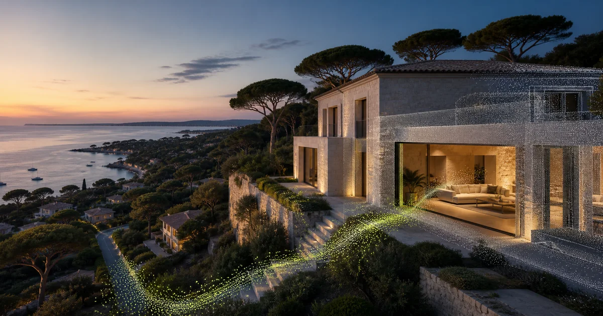
We combine photorealistic spatial capture, structured Unreal Engine scenes and property data so a home can be explored, understood and reimagined.
Live web prototype · Early Unreal Engine proof · Robot-assisted capture in development
01 / CURRENT PROOF
The project already combines a live property-discovery interface, real-space capture and an early structured Unreal Engine reconstruction.
A working web prototype for neighborhood-level property discovery, context and the move from map to immersive 3D exploration.
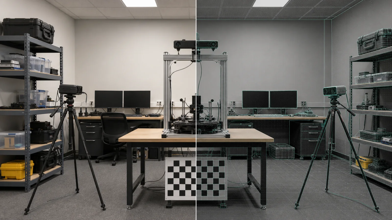
Launch prototypeWe recorded a real laboratory — entrance, furniture, windows and room layout — as the source for our reconstruction experiments.
The same room, rebuilt as an early Unreal Engine environment with first-person navigation, structured geometry and interactive doors.
Early structured reconstruction — a white-box engineering proof, not a final photorealistic twin.
02 / THE IDEA
Gaussian splats preserve the real appearance, lighting, materials and visual detail of the property.
Rooms, walls, openings, doors, furniture and surfaces become navigable, interactive and editable.
Measurements, orientation, sunlight, views, access, travel times and neighborhood context.
We are building a hybrid twin: photorealistic splats for appearance, with a structured Unreal Engine layer for interaction, staging and renovation.
03 / ROBOT-TO-UNREAL PIPELINE
A teleoperated quadruped carries panoramic cameras, LiDAR and motion sensors through the property.
The robot sequence is a concept visualization. The first grant milestone uses teleoperation; route replay and autonomy follow later.
04 / PRODUCT EXPERIENCE
Move from the neighborhood to the grounds and interior.
See layout, orientation, views, sunlight and surrounding context.
Test furniture, materials, staging and renovation concepts.
05 / MEGAGRANT MILESTONE
Within six months, we will capture one real Côte d’Azur property and deliver a complete Unreal Engine vertical slice covering the home, grounds and selected neighborhood context — combining a photorealistic captured layer with structured rooms, openings, objects and property data, so users can compare Original, Staged and Renovation states. The result: a packaged Unreal Engine build, a browser-accessible review experience and a documented, anonymized sample workflow for the 3D community.
06 / FUTURE NETWORK
Long term, owner-controlled home passports can form a privacy-aware property network. Buyers will be able to search homes by real spatial characteristics, explore listed and off-market properties, and send qualified expressions of interest.
07 / TEAM
Co-founder and CTO of PowerIn.Space. Ten-plus years of R&D across applied physics, computer vision, robotics, optical systems and complex hardware-software integration.
Head of M:3L Lab. Research experience in applied mathematical modelling, mechanics and machine-learning-based engineering systems.
Lead Researcher at M:3L and AI researcher at Google, specializing in 3D vision, point-cloud understanding, object detection and CAD reconstruction.
Lead Software Engineer at M:3L. Full-stack platforms, MLOps, interactive 3D and scalable cloud systems.
Professional affiliations are provided for background. NBRHD Twin is an independent project.
NBRHD TWIN / EPIC MEGAGRANTS